
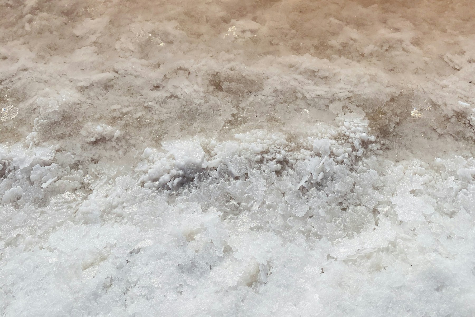
Water on the Etosha Pan is usually shallow, uneven and temporary. After suitable rainfall and inflow, parts of the vast salt surface can hold a reflective sheet, while other areas remain dry or merely damp.
The change can be dramatic without turning the pan into a conventional lake. Water depth, coverage and duration vary from year to year. A traveller arriving in the rainy season should hope for seasonal variety, not expect a blue horizon copied from one exceptional photograph.
When water is present, watch how birds, grazing animals, road access and the quality of light change around the pan margins. Stay on open public roads and viewpoints; the fragile surface is not a place for driving or walking without explicit authority.
In this guide
- How the pan receives water
- Why coverage is shallow and patchy
- Bird and wildlife responses
- Road and access implications
- Photography beside reflective water
- Seven changes travellers may notice
How water reaches the Etosha Pan
Local rain can wet the surface, while catchment inflow from the north may contribute under suitable conditions. Evaporation is intense, so water can retreat quickly and leave mud, salt crust or isolated pools. Timing at one edge does not describe the whole pan.
The pan is part of a larger seasonal system. UNESCO’s Etosha Pan tentative-list description provides useful geological and ecological context. It also reinforces why the landscape should be viewed as a dynamic saline environment rather than an ordinary lake.
Why water on the Etosha Pan remains patchy
The surface is extremely broad and subtle differences in level influence where a thin sheet collects. Wind can push water, expose mud and create ripples. One lookout may face a reflective area while another sees pale salt and distant mirage.
Cloudbursts are local. A green roadside and a dry pan can occur in the same visit, as can standing water beside dusty ground. Avoid drawing conclusions from one photograph, one gate or one afternoon.
| Observation | Likely explanation | Traveller response |
|---|---|---|
| Mirror-like sheet | Very shallow calm water | Use a wider landscape composition. |
| Dark mud margin | Recent wetting or retreat | Stay on the open road. |
| Bird concentration | Temporary food or water conditions | Watch from distance with binoculars. |
| Closed or rough road | Rain damage or safety management | Obey closure and reroute. |
Birdlife after suitable flooding
Seasonal water can attract waterbirds and, in favourable years, flamingos. Presence and numbers vary; nesting or large congregations are not promised. Scan with binoculars before deciding that pale marks are stones or heat shimmer.
Bird activity may be far from the road. Long lenses help, but patient observation and a field guide often produce more value than a low-quality photograph. For an eastern wetland example, read the site’s Fischer’s Pan birding guide.
How mammals respond around the margins
Rain disperses surface water and fresh grazing across a wider landscape. Animals that clustered at permanent dry-season waterholes may spread out. That can reduce predictable waterhole traffic while increasing sightings in green plains and along feeding routes.
Look for mixed herds, newborn antelope at the appropriate season, tracks in damp soil and predators using vegetation or shallow drainage lines. Never assume that more water means animals will stand directly on the open pan.
A quieter waterhole can be normal
When temporary water is available elsewhere, wildlife does not need to visit the same artificial or permanent points as often. Change the search pattern instead of waiting all day for dry-season behaviour.
Stay long enough to read changing conditions
Two or more well-placed nights let you compare pan margins, waterholes and weather instead of judging a seasonal landscape from one rushed drive.
Road conditions and responsible access
Rain can create standing water, slippery surfaces, ruts and closures on surrounding routes. Check locally, follow signs and turn around before a questionable section becomes a recovery problem. A vehicle type does not override a closed-road notice.
Drive slowly enough to avoid spraying mud onto other vehicles or eroding soft edges. Do not bypass puddles by widening the road into vegetation. Current staff instructions are more useful than a route report from an earlier season.
Photography when the pan reflects the sky
Use the water as foreground and expose carefully for bright cloud. A polarising filter may deepen colour but can also remove the reflection that makes the scene interesting. Try both orientations and keep the horizon straight.
Heat haze still affects distant subjects, even above water. Early light, clouds and a nearer foreground can produce cleaner images. Include a small animal, vehicle-safe road edge or bird line to show scale without manufacturing a dramatic water depth.
Seven fascinating changes to watch
A wet-season visit rewards travellers who look beyond a single target.
- Reflections and darker pan edges
- Temporary pools and muddy margins
- Different bird assemblages
- Dispersed herbivore movement
- Greener grazing away from waterholes
- More variable road conditions
- Fast changes after sun and wind
A ten-point field study of water on the Etosha Pan
The following study prompts help travellers document water on the Etosha Pan without treating one visit as a universal pattern. They are designed for normal legal viewpoints and roads; they never authorise entry onto a closed track, pan surface or sensitive habitat.
1. How water reaches the Etosha Pan
Use “How water reaches the Etosha Pan” to separate weather from season. One shower, cool morning or patch of green does not describe the whole landscape. Record date, broad sector and recent local information so water on the Etosha Pan is interpreted as a changing process rather than a fixed calendar event.
2. Why water on the Etosha Pan remains patchy
Trace the water behind “Why water on the Etosha Pan remains patchy”: direct rain, temporary pooling, catchment inflow, a permanent source or an artificial point can produce different wildlife responses. water on the Etosha Pan becomes clearer when travellers ask where water came from, how long it may persist and which habitats remain dry.
3. Birdlife after suitable flooding
Compare “Birdlife after suitable flooding” at two locations instead of generalising from one viewpoint. Wind, soil, shade and rainfall vary across Etosha. A quiet western waterhole and active eastern grassland can both be normal during water on the Etosha Pan; the difference is information, not a contradiction to be explained away.
4. How mammals respond around the margins
Look below the largest mammals when studying “How mammals respond around the margins”. Insects, fresh tracks, seedlings, frogs and small birds often respond before a dramatic landscape change is obvious. These details give water on the Etosha Pan a time sequence and prevent the visit becoming only a search for a headline species.
5. Road conditions and responsible access
Ask how herbivores alter movement around “Road conditions and responsible access”. New grazing can disperse animals; limited water can concentrate them; mud or tall grass can shift approach routes. water on the Etosha Pan should change the scanning plan, not create a guarantee that animals will be easier or harder everywhere.
6. Photography when the pan reflects the sky
Use “Photography when the pan reflects the sky” to review predator assumptions. Predators respond to prey, shade, cover and disturbance rather than a tourist timetable. During water on the Etosha Pan, scan herd edges, downwind cover and movement corridors, but report only what is seen and avoid converting habitat theory into a promised sighting.
7. Seven fascinating changes to watch
Check road consequences before following “Seven fascinating changes to watch”. Wet margins, ruts, dust, standing water or a closure are management and safety signals. No vehicle class authorises a bypass. The responsible water on the Etosha Pan route accepts a shorter drive when the surface or official instruction requires it.
8. Etosha Pan water
Photograph “Etosha Pan water” with a fixed reference such as the road edge, horizon, tree or animal group. Repeat the frame later when practical. This documents water on the Etosha Pan without exaggerating scale, colour or water depth, and it makes the comparison more useful than an isolated dramatic edit.
9. seasonal wetlands
Discuss uncertainty around “seasonal wetlands” in the caption or field note. Use “may,” “at this location” and “during our visit” when evidence is limited. Responsible writing about water on the Etosha Pan distinguishes current observation from long-term pattern and links readers to an authoritative source for broader context.
10. Etosha birding
Finish the “Etosha birding” review by asking what changed the next day. Evaporation, another storm, wind, grazing or road management may alter the same sector quickly. water on the Etosha Pan is best understood through repeated, humble observation rather than one viral image treated as a normal annual scene.
11. rainy-season safari
Connect “rainy-season safari” to scale. Estimate whether the observation covers a puddle, one waterhole, a pan margin or a broad sector, and state that scale explicitly. water on the Etosha Pan reporting becomes misleading when a close photograph of one patch is described as if the entire national park shared the condition.
12. How the pan receives water
Use “How the pan receives water” to compare animal needs. Grazers, browsers, water-dependent species, raptors and scavengers do not respond identically. A useful water on the Etosha Pan note names the observed species and behaviour without treating one group as a proxy for every animal in Etosha.
13. Why coverage is shallow and patchy
Check the time lag behind “Why coverage is shallow and patchy”. Vegetation, insects and animal movement may respond hours or weeks after rainfall or drying. water on the Etosha Pan should therefore connect current appearance with recent history where reliable information exists, while avoiding precise causal claims from one drive.
14. Bird and wildlife responses
Observe how “Bird and wildlife responses” changes sound and visibility. Wet ground, wind, foliage and insects can alter what travellers hear and how far they see. Incorporating those sensory conditions makes water on the Etosha Pan interpretation more complete and helps explain why the same route produces different detections.
15. Road and access implications
Review “Road and access implications” with an authoritative source after the drive. Use the source for long-term ecology or history and the field note for that day’s local condition. Responsible water on the Etosha Pan writing keeps those evidence levels separate and corrects the article if official guidance changes.
16. Photography beside reflective water
End “Photography beside reflective water” by identifying one question that remains open. It might concern water origin, bird movement, boundary history or vegetation response. Good water on the Etosha Pan turns uncertainty into a research question rather than filling the gap with a confident but unsupported explanation.
Compare the ten prompts after two different drives. The differences reveal how local and temporary water on the Etosha Pan can be. Share the observation with dates and broad location, and avoid language that promises the same condition to someone travelling months later. Keep photographs in sequence with basic weather notes, then revisit them after the trip with an authoritative ecological or historical source. The comparison should refine the interpretation without erasing uncertainty.
Read water on the Etosha Pan as a seasonal signal
Treat water on the Etosha Pan as a changing part of a much larger system. Water on the Etosha Pan can alter birds, reflections and wildlife distribution without covering every viewpoint. Recent conditions determine whether water on the Etosha Pan is visible during a particular visit.
Questions about water on the Etosha Pan
Seasonal variability is the most important principle behind these answers.
Is the Etosha Pan a lake?
It is a vast saline pan that is commonly dry. Shallow seasonal water may cover parts after rain and inflow, but it does not behave like a permanent deep lake.
When is water most likely?
The rainy season offers the possibility, but exact timing and coverage vary. Recent weather and catchment inflow matter more than a fixed calendar promise.
Are flamingos guaranteed?
No. Suitable water and food conditions can attract them in some periods, but numbers and locations are unpredictable and may be distant from public viewing routes.
Can visitors drive onto the wet pan?
Visitors must remain on authorised open roads and viewpoints. Do not enter the pan surface or bypass closures; fragile ground and hidden mud create ecological and safety risks.
Does rain make wildlife harder to see?
Animals often disperse when water and grazing are widespread, reducing dry-season concentration. Wider landscape scanning can still produce excellent sightings.
How quickly can shallow water disappear?
Strong sun, wind and evaporation can change shallow coverage rapidly. Conditions seen early in a trip may look different days later.
Treat a wet pan as a changing system
Watch the margins, birds, grazing and road conditions rather than chasing one postcard view. Seasonal uncertainty is part of what makes Etosha’s pan so compelling.